Eyes on the Sky: How EUSOME Is Making U-space a Reality for the Southeast Mediterranean
Drones are no longer rare visitors to European skies. Parcel logistics, emergency response, environmental monitoring, infrastructure inspection: professional UAVs are absorbing tasks that once belonged exclusively to manned aviation. As more aircraft of every kind share the same low-altitude airspace, an unavoidable question follows. How do we keep them safe around each other?
That question sits at the heart of EUSOME, the Horizon Europe Excellence Hub for Advanced Air Mobility in the Southeast Mediterranean. Within the consortium, ATHENA Research Center leads Work Package 2, the technical groundwork of a shared sky. Its central piece is airspace awareness: the practical ability to know who is in the air, where, and when.
Modern drones are supposed to announce themselves, broadcasting their identity over a standard called Remote ID, the digital equivalent of a licence plate. For cooperative aircraft this works well. The harder problem is the rest: drones flying without authorisation, transponders that have failed, operators who switched the wrong setting. A credible system has to catch both kinds.
ATHENA’s answer is a sensing suite of three technologies that complement each other. A Wi-Fi-based receiver listens for Remote ID broadcasts from cooperative aircraft.
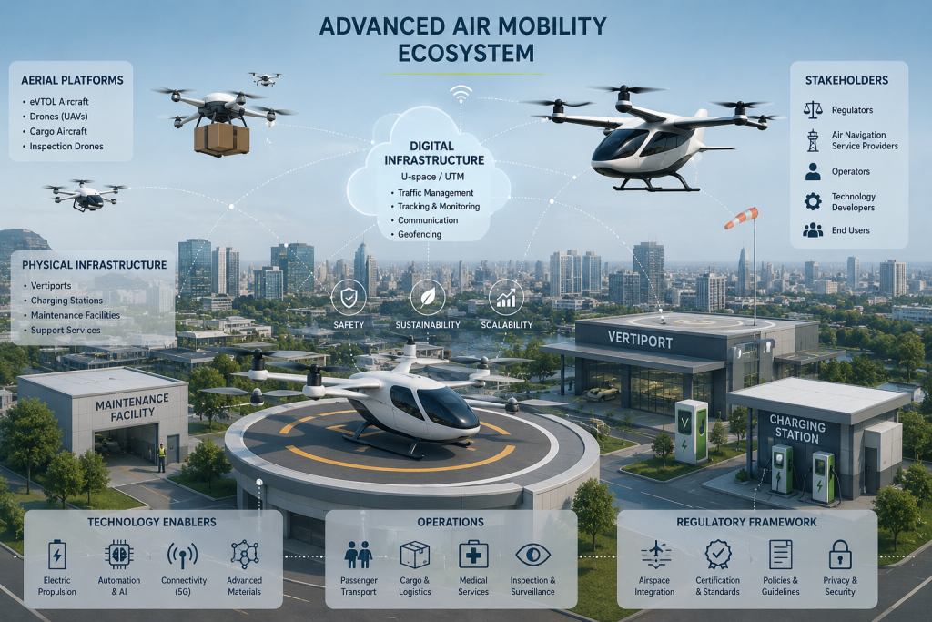
Where Remote ID falls silent, a millimetre-wave radar takes over, scanning for objects that emit no signal at all. Tying everything to the ground, a 5G telemetry module keeps the airborne platform in contact with operators in real time. This is not a paper exercise. In January 2026, ATHENA ran a live field campaign to characterise the air-to-ground 5G link, using UAV telemetry as the payload, while the Remote ID transmit/receive subsystem entered bench validation. In parallel, the architecture is being plugged into the EUSOME Digital Twin, where thousands of traffic scenarios can be tested before they occur in the open air. All of this prepares the ground for U-space, the European Union’s framework for managing drones at low altitude. As defined by EASA, U-space rests on three pillars: identifying cooperative aircraft, detecting non-cooperative ones, and keeping operators reliably connected. The EUSOME sensing suite is a direct answer to those requirements.
For Cyprus and Greece the timing is especially important. Both countries are designing their national U-space deployments now, and the technical choices made over the next year will shape Advanced Air Mobility in the region for a long time. By building the sensing infrastructure on which U-space services depend, EUSOME is helping the Southeast Mediterranean move from policy to operations in the sky.